The 1st United Nations World Geospatial Information Congress held in Zhejiang
On November 19, the First United Nations World Geospatial Information Congress (UNWGIC), co-hosted by the United Nations, the Chinese Ministry of Natural Resources and Zhejiang Provincial Government, kicked off in Deqing, Zhejiang. UNWGIC aims to provide a convening, participatory and inclusive environment to enhance the communication, understanding, knowledge and application of geospatial information management to address local, regional and global challenges.
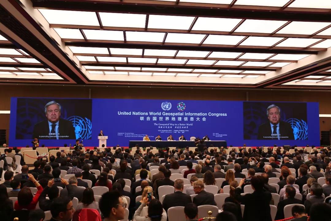
Prime Minister LI Keqiang sent a letter of congratulations and UN Secretary General AntónioGuterres sent video messages to the Congress. With an overarching theme “The Geospatial Way to a Better World”, the Congress was a truly global event bringing together all stakeholders at the highest level to address and ensure that geospatial information has its widest and fullest utility in service of social, economic and environmental development. It is the highest-caliber and largest UN meeting to be hosted in China in the domain of geospatial information.
At the Congress, LU Hao, minister of Natural Resources, read LI Keqiang’s letter of congratulations and delivered a welcome address. Under-Secretary-General for Economic and Social Affairs LIU Zhenmin, Governor of Zhejiang Province YUAN Jiajun and UN-GGIM(the United Nations Committee of Experts on Global Geospatial Information Management) Co-chair Dorine Burmanje made opening remarks. The Congress was presided over by Vice Minister of Natural Resources Kurexi. Also present at the opening ceremony were 11 ministerial officials in the field of natural resources from 11 countries.
As a participant in the Congress, Zhejiang University showcased state-of-the-art research in geospatial information. A series of research achievements that the School of Earth Sciences has made in recent years in remote sensing and geospatial information was greeted with waves of applause.
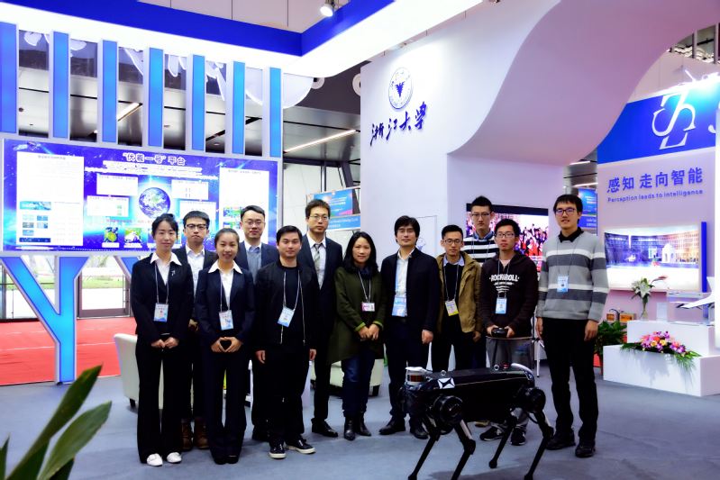
On the morning of November 19, LU Hao and YUAN Jiajun visited the exhibition booth of Zhejiang University. They made highly complementary remarks on ZJU’s achievements in comprehensive monitoring of global geospatial information, spatial big data and artificial intelligence and encouraged researchers to make more breakthroughs in innovation and services.
The state project—Research into Key Technologies in the Management of Comprehensive Global Monitoring Results and the Sharing Services System—headed up by Prof. LIU Renyi in the School of Earth Sciences captured immense attention among participants. It is dedicated to creating a system for the management of comprehensive global monitoring results and the innovative technology for sharing services and building a smart management and service platform for big data in global monitoring information, thus providing generous support for national strategies.